
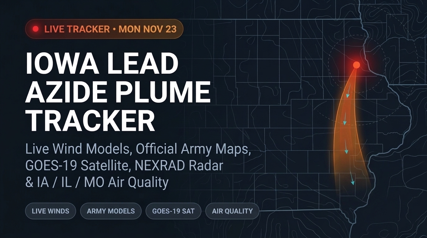
IAAAP Plume Tracker
Built as a free, ad-free resource for neighbors across eastern Iowa, western Illinois, and northeast Missouri tracking wind direction and air quality around the scheduled Middletown IAAAP detonation. Thousands of residents used it in its first week to check their town in seconds.
Everything in One Readable Map
Neighbors shouldn't have to piece together scattered government PDFs, airport wind tables, and weather radar tabs just to see if wind is blowing toward their town. The tracker brings it all together in plain English:
Check Your Own Town or ZIP
Type any town or ZIP code, or use GPS location, to see your distance from Middletown, whether you sit in the wind path, and a shareable link for your community.
Live Radar, Satellite & Cameras
Switch on weather radar loops, live satellite views, local Iowa 511 highway cameras, regional air quality readings, and official Army and EPA maps side by side.
Hour-by-Hour Timeline
Scrub forward hour by hour, test different times of day, and compare scheduled forecasts against live wind conditions right now.
Save & Share HD Maps
Export a crisp 1920x1080 image snapshot with the live map, community air quality numbers, and hourly wind forecast to share with family or local groups.
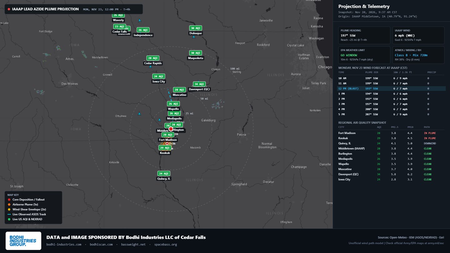
Built by Bodhi Industries as a free public resource pulling public weather feeds, regional air quality stations, and published government models into one map. Always follow official local emergency guidance.
Need a custom map, live dashboard, or public web tool?
Tell us what your audience needs to see and we will build it fast.